Checked
Oakville parks directory
Oakville, Ontario, Canada
Find Oakville, Ontario parks and open spaces, with individual descriptions, recorded facilities, photos where verified and Google Maps.
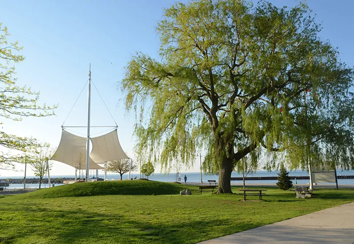
Key information
Browse 566 park and open-space sections for Oakville. Search a name, street or recorded feature, then open that place’s map. The source scope and any missing information are explained below.
On this page
What this directory covers
| Detail | Coverage |
|---|---|
| Individual sections | 566 |
| Source scope | All 566 polygons in the Oakville Parks feature layer used by the official town information map. Includes named parks, valleys, woodlots, community links, buffer blocks, schoolboard land and undeveloped parkland. Each original parcel and ID is preserved. |
| Coverage limits | All entries in the stated source scope are included. This does not establish current public access. |
All 566 polygons in the Oakville Parks feature layer used by the official town information map. Includes named parks, valleys, woodlots, community links, buffer blocks, schoolboard land and undeveloped parkland. Each original parcel and ID is preserved.
Recorded facilities can be seasonal, closed or out of service. A blank field means not confirmed. A map point may mark park land rather than a public or accessible entrance.
Sources: Oakville official parks inventory · Oakville park visitor information
Find a park
Search the recorded names, streets, descriptions and facilities. Each result has its own section and map links. Only the places on the current page are downloaded.
Some pins mark park land rather than an entrance. Official park pages have current visiting details.
261 to 280 of 566 places
Kings Park Woods
1280 Avon Crescent
Kings Park Woods is recorded as tableland woodlot in Ward 3. The inventory records 1.015 hectares for this parcel.
- Land classification
- Tableland Woodlot
- Ward
- Ward 3
- Recorded area
- 1.015 hectares
Sources: Oakville official parks inventory
Kingsford Gardens
2480 Sherwood Heights Drive
Kingsford Gardens is recorded as neighbourhood park in Ward 3. The inventory records 6.758 hectares for this parcel.
- Land classification
- Neighbourhood Park
- Ward
- Ward 3
- Recorded area
- 6.758 hectares
Sources: Oakville official parks inventory
Kingsford Gardens Park Pond
2667 Kingsway Drive
Kingsford Gardens Park Pond is recorded as minor valley in Ward 3. The inventory records 0.627 hectares for this parcel.
- Land classification
- Minor Valley
- Ward
- Ward 3
- Recorded area
- 0.627 hectares
Sources: Oakville official parks inventory
Kingsridge Parkette
Kingsridge/Parkglen
Kingsridge Parkette is recorded as neighbourhood park in Ward 4. The inventory records 0.321 hectares for this parcel.
- Land classification
- Neighbourhood Park
- Ward
- Ward 4
- Recorded area
- 0.321 hectares
Sources: Oakville official parks inventory
Kingsway Park
2921 Kingsway Drive
Kingsway Park is recorded as neighbourhood park in Ward 3. The inventory records 1.156 hectares for this parcel.
- Land classification
- Neighbourhood Park
- Ward
- Ward 3
- Recorded area
- 1.156 hectares
Sources: Oakville official parks inventory
Kinoak Arena
363 Warminster Drive
Kinoak Arena is recorded as neighbourhood park in Ward 2. The inventory records 0.851 hectares for this parcel.
- Land classification
- Neighbourhood Park
- Ward
- Ward 2
- Recorded area
- 0.851 hectares
Sources: Oakville official parks inventory
Lakeport Pond
1520 Lakeport Cres
Lakeport Pond is recorded as minor valley in Ward 6. The inventory records 3.281 hectares for this parcel.
- Land classification
- Minor Valley
- Ward
- Ward 6
- Recorded area
- 3.281 hectares
Sources: Oakville official parks inventory
Lakeside Park
12 Front Street
Lakeside Park is recorded as community park in Ward 3. The inventory records 1.437 hectares for this parcel.
- Land classification
- Community Park
- Ward
- Ward 3
- Recorded area
- 1.437 hectares
Sources: Oakville official parks inventory
Lancaster Woods
1560 Lancaster Drive
Lancaster Woods is recorded as tableland woodlot in Ward 6. The inventory records 0.261 hectares for this parcel.
- Land classification
- Tableland Woodlot
- Ward
- Ward 6
- Recorded area
- 0.261 hectares
Sources: Oakville official parks inventory
Langtry Park
2186 Brays Lane
Langtry Park is recorded as neighbourhood park in Ward 4. The inventory records 2.704 hectares for this parcel.
- Land classification
- Neighbourhood Park
- Ward
- Ward 4
- Recorded area
- 2.704 hectares
Sources: Oakville official parks inventory
Laurelwood Park
420 Hedgerow Lane
Laurelwood Park is recorded as neighbourhood park in Ward 6. The inventory records 2.095 hectares for this parcel.
- Land classification
- Neighbourhood Park
- Ward
- Ward 6
- Recorded area
- 2.095 hectares
Sources: Oakville official parks inventory
Lawson Park
148 Morrison Road
Lawson Park is recorded as neighbourhood park in Ward 3. The inventory records 2.119 hectares for this parcel.
- Land classification
- Neighbourhood Park
- Ward
- Ward 3
- Recorded area
- 2.119 hectares
Sources: Oakville official parks inventory
Lawson Playground
2184 Hixon Street
Lawson Playground is recorded as neighbourhood park in Ward 1. The inventory records 1.177 hectares for this parcel.
- Land classification
- Neighbourhood Park
- Ward
- Ward 1
- Recorded area
- 1.177 hectares
Sources: Oakville official parks inventory
Leewood Parkette
Street address not supplied by the source
Leewood Parkette is recorded as neighbourhood park in Ward 2. The inventory records 0.474 hectares for this parcel.
- Land classification
- Neighbourhood Park
- Ward
- Ward 2
- Recorded area
- 0.474 hectares
Sources: Oakville official parks inventory
Leighland Park
301 Leighland Avenue
Leighland Park is recorded as neighbourhood park in Ward 5. The inventory records 1.506 hectares for this parcel.
- Land classification
- Neighbourhood Park
- Ward
- Ward 5
- Recorded area
- 1.506 hectares
Sources: Oakville official parks inventory
Linbrook Private School
1079 Linbrook Road
Linbrook Private School is recorded as schoolboard in Ward 3. The inventory records 1.283 hectares for this parcel.
- Land classification
- Schoolboard
- Ward
- Ward 3
- Recorded area
- 1.283 hectares
Sources: Oakville official parks inventory
Linbrook Woods
448 David Avenue
Linbrook Woods is recorded as tableland woodlot in Ward 3. The inventory records 0.863 hectares for this parcel.
- Land classification
- Tableland Woodlot
- Ward
- Ward 3
- Recorded area
- 0.863 hectares
Sources: Oakville official parks inventory
Lindsay Park
1221 Lindsay Drive
Lindsay Park is recorded as neighbourhood park in Ward 2. The inventory records 1.6 hectares for this parcel.
- Land classification
- Neighbourhood Park
- Ward
- Ward 2
- Recorded area
- 1.6 hectares
Sources: Oakville official parks inventory
Lions Pool
159 Felan Avenue
Lions Pool is recorded as community park in Ward 2. The inventory records 0.314 hectares for this parcel.
- Land classification
- Community Park
- Ward
- Ward 2
- Recorded area
- 0.314 hectares
Sources: Oakville official parks inventory
Lions Valley Park
Lions Valley Road
Lions Valley Park is recorded as community park in Ward 7. The inventory records 11.468 hectares for this parcel.
- Land classification
- Community Park
- Ward
- Ward 7
- Recorded area
- 11.468 hectares
Sources: Oakville official parks inventory
Planning your park visit
Why does this list include woodlots and valleys?
The town’s parks layer includes these land classes, not only landscaped neighbourhood parks. Each record shows its classification.
Can I bring a personal barbecue?
No. The town’s parks by-law summary prohibits personal barbecues and fires.
Do I need a permit for a large picnic?
Yes. A picnic with 25 or more people requires a permit, and picnics must take place in designated areas.
Can I camp in a town park?
Only with written permission from the Director. Ordinary park access does not include camping.
How long can my dog’s leash be?
Cats and dogs must be leashed with a leash no longer than two metres. Dogs may be off leash only in a fenced, designated leash-free area.
Can my team practise without a permit?
Team games and practices require permits. Sports should take place in the purpose-built fields and facilities provided by the town.
Who switches off sports-field lights after a booking?
The permit holder must turn off the lights at the end of the game or practice when the permit allows their use.
Does the parks by-law cover trails and harbour land?
Yes. It covers town-managed parks, gardens, trails, valleys, squares, athletic fields, harbour lands and recreation grounds.
Does each map identify the entrance?
No. Polygon centres identify land parcels. Where the inventory supplies a street address, it is shown, but an accessible visitor entrance has not been verified.
Does a missing address mean the park is closed?
No. It means the GIS source did not supply a street address. Access and operating conditions must be confirmed separately.
Official park information
Sources: Oakville official parks inventory · Oakville park visitor information